In appreciation for your volunteerism this past year, we will be holding our annual volunteer appreciation dinner at Franklin’s Outdoor 76 Rock House Lodge on Friday, December 2nd, 5-7 PM. If you’ve volunteered with us this past year, we hope you’ll join us for an evening of food, fun, and beverages!
Walking With Bartram: Section 1 – Sandy Ford to Russell Bridge
October 28th, 2022
Trail report:
This group for the first section hike of another Walking With Bartram journey thoroughly enjoyed the autumn views along the way. We met at Russell Bridge on HWY 28 for quick introductions and shuttle planning, then off we went to Sandy Ford. Easier day of shuttling this way.
Plenty of parking for this group and just before 10am, we were gathered around at the trailhead for a reading from Bartram’s Travels from Brent Martin.
TRAILHEAD NOTE: The road up to the Sandy Ford trailhead is mostly traversable by all vehicles. There is a creek crossing (Upper Dick’s Creek) that everyone successfully navigated, even a Mazda Miata! Please use caution when crossing this creek!
The weather was near perfect warming up from the 40’s to near 70 degrees in the middle of the day. Plenty of sun and just the right amount of wispy clouds created great viewing opportunities along the trail sharing the Chattooga River corridor.
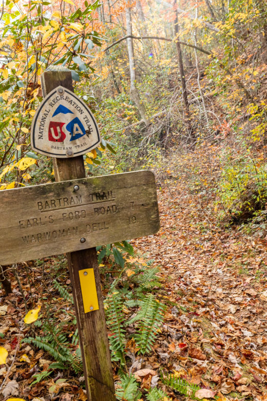
We hiked at our own pace, stopping occasionally for a little Bartram story to be woven into the day. Lunch at Earls Ford provided a great sound of flowing water as a backdrop while folks chatted over their snacks.
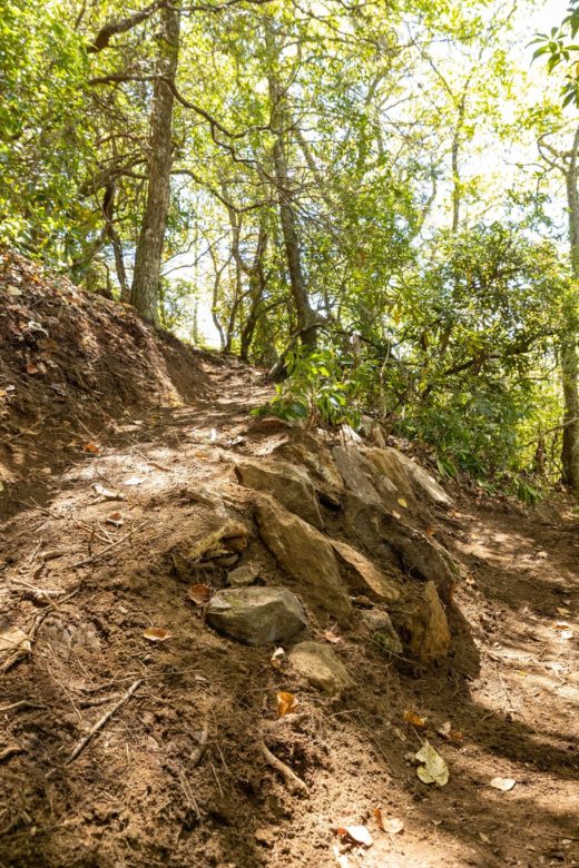
Most of the trail was in really great condition with some recent volunteer work recently completed. With the exception of the Dick’s Creek Bridge being out for some time, all other creek and river crossings were in great shape.
Enjoy the photos and if you’re interested in joining us for the next hike in November, please visit this link to RSVP. We did have a record turn-out for this one and if there is a demand for it, we’ll figure out how to offer another outing!
We look forward to seeing you on the trail!
Photo Gallery


October 31st: Bartram Trail Hiking Map Release Party!
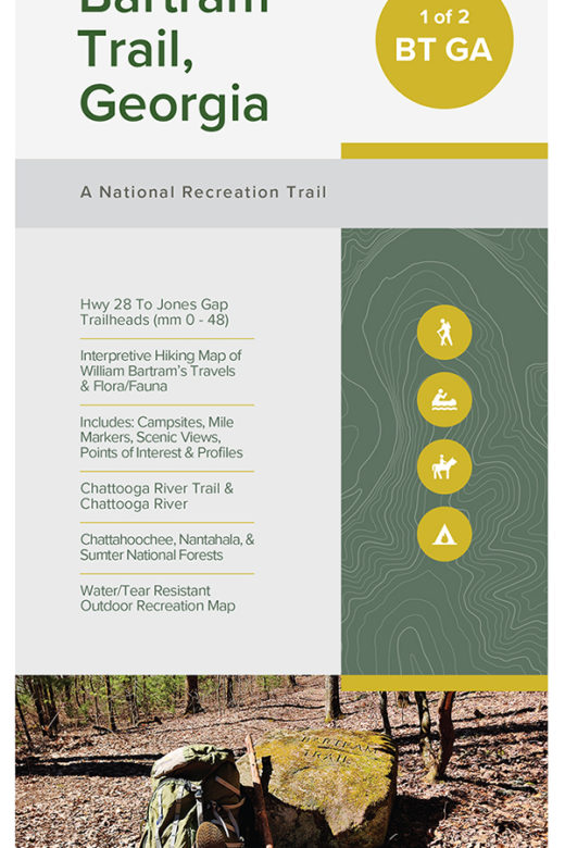
Here’s one a lot of y’all have been waiting on for a hot minute, the release of our updated Bartram Trail Hiking Maps! Our friends at Outdoor 76 in Clayton are allowing us to set up camp in the store for a bit on Halloween, October 31st from 4pm to 7pm, to celebrate the release of our new Hiking Map of Georgia’s Bartram Trail and our updated Hiking Map of North Carolina’s Bartram Trail.
Brent Martin, our Executive Director, William Bartram Author, Historian, and Botanist will be there to chat with you and answer questions. Maybe even get yours signed!
While the maps may be ready for sale online ahead of this event, we would love to see you at Outdoor 76 to purchase your new Bartram Trail Hiking Map. We will also have Blue Ridge Bartram Trail Conservancy items available for a modest donation. All proceeds from the sale of these maps and other BRBTC items go towards funding trail maintenance projects along the 110 miles of the Bartram Trail.
If you think you will swing by, please RSVP below to help us plan. But, feel free to swing by if you happen to be in the area.
We hope to see you there or on the trail!
Trail Report for Week of October 10th, 2022
Summary of trail conditions, trail maintenance, and other information about the Bartram Trail.
This post is our first trail report with a goal of publishing any and all information pertaining to the trail that we receive from hikers, members, and from our own volunteer work days.
If you are out on the trail and see something that needs to be addressed, like a tree down across the trail, muddy section, or potential hazards, please let us know by submitting a trail observation report. We review and prioritize all reports we receive and assign trail work days to address them.
New Trail Observations for week of October 10th through 16nd:
- Date: 10/12/2022
- Source: Member(s)
- Section: Rabun Bald (GA)
- Observations: As part of assistance to prepare for the Sky to Summit trail race, scheduled for 11/5, members and volunteers were out on the stretch of trail connecting to Rabun Bald and a connector trail down to Hale Ridge Road. Other than the tricky and steep rock descent directly off of Rabun Bald, this trail is looking great. We didn’t encounter any significant issues from Beegum Gap up to Rabun Bald. On the way down, minimal cutting back of overgrowth, some minor brushing, and some clearing of water diversions was completed.
- Date: 10/15/2022
- Source: Member(s)
- Section: Warwoman Dell to Hale Ridge Road (GA)
- Observations: Trail was cleared of brush from the Warwoman Dell parking area up just past Becky Branch Falls.
- Date: 10/16/2022
- Source: Member(s)
- Section: Jones Gap to Osage Overlook (NC)
- Observations: This section looks good overall with the exception of a few blowdowns across the trail. Most are easily stepped over and are less than 16″ in diameter, but there is one tangle of a tree that is not easily passable, located about 1 mile from Jones Gap. It is located near the end of a switchback, so hikers can go down/up the short distance to connect back with the trail. This blowdown will need chainsaw work to remove. The primary water source along this section is at the Tessentee campsite along the short forest road section between Jones Gap and Scaly Mountain. This section has had a lot of great work done on it since this summer with a long section of new tread, stone and wood steps, and much easier steps to take.


