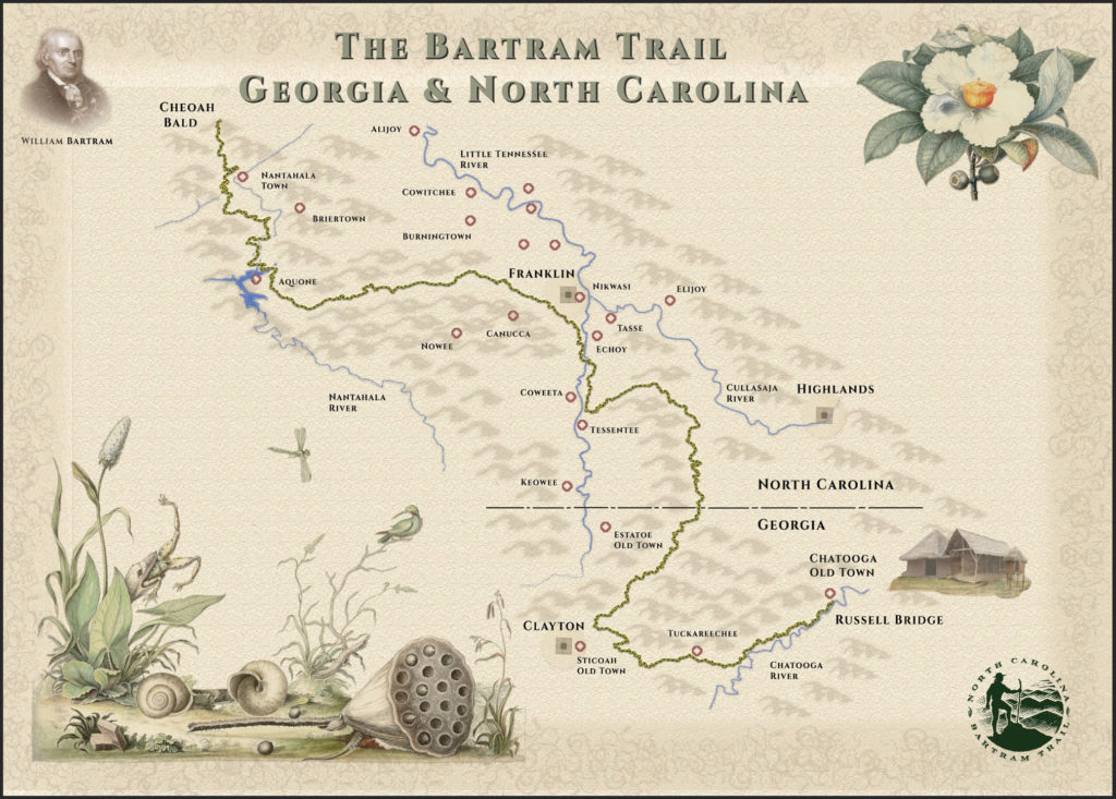
Georgia’s Portion of the Trail
The Georgia portion of the Bartram Trail originates at Russell Bridge on Hwy 28 and travels west to Rainy Mountain, then turns north to travel through Warwoman Dell, Courthouse Gap, Wilson Gap, Rabun Bald and reaches the North Carolina border just southwest of Highlands.
This portion of the Bartram Trail, all 36 miles of it located in Rabun County and the Chattahoochee National Forest, is maintained by the Blue Ridge Bartram Trail Conservancy. For a discussion of the trail and the hikes available on the Georgia portion of the Bartram Trail, please refer to the “Bartram Trail Guide” for Georgia by Ray and Skove, which is available on the Maps and Guides page of this website.
North Carolina’s Portion of the Trail
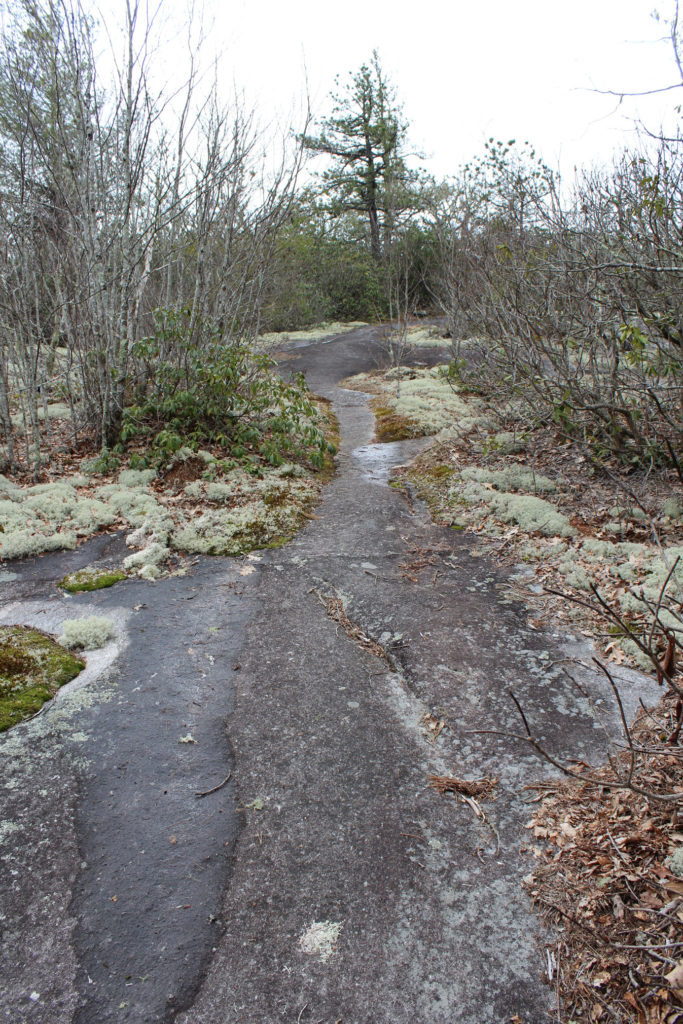
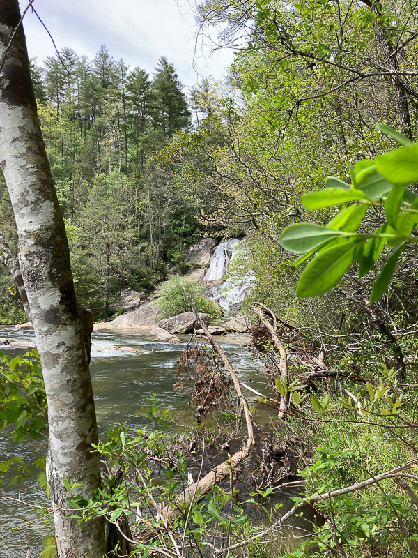
In North Carolina, the trail curves in a north-to-west direction through Western North Carolina, joining the Appalachian Trail at two points and ending on Cheoah Bald. On its path from the Georgia state line to Cheoah Bald, it goes to the crest of the Blue Ridge Mountains and crosses the Fishhawk Mountains before descending to the Little Tennessee River Valley. Here BRBTC has designated a stretch of the Little Tennessee River to Franklin a canoe trail. Thru-hikers must follow a series of country roads through the valley into Franklin.
Near and within the city limits of Franklin, there is the Little Tennessee Greenway, a footpath that winds along the river. While not a part of the Bartram Trail, it still offers a “side-path” that is a pleasant excursion.
Outside of Franklin, the Bartram Trail turns west and ascends the Nantahala Mountains to Wayah Bald, which, at 5385 feet, is the highest point on the trail. The trail joins the Appalachian Trail briefly from Wayah Bald to Winespring Bald, then descends to Nantahala Lake.
Continuing mainly on private lands from the Lake, the trail reaches Appletree Campground in the upper Nantahala Gorge and then climbs up and over Rattlesnake Knob before reaching the “put in” on the Nantahala River. From the River, the Trail climbs to the summit of Cheoah Bald and ends there. In total, the North Carolina portion of the trail is 78 miles.