9.3 Miles in Georgia
My road for a considerable time led me winding and turning about the steep rocky hills; the descent of some which was very rough and troublesome, by means of fragments of rocks, slippery clay and talc, but after this I entered a spacious forest, the land having gradually acquired a more level surface; a pretty grassy vale appears on my right through which my wandering path led me, close by the banks of the delightful creek, which sometimes falling over steps of rocks, glides gently with serpentine meanders through the meadows.
Historic and Cultural Notes
Sandy Ford once served as a river crossing of the Chattooga for the Cherokee natives, settlers, and traders of the area. It is located just south of where the Bartram Trail crosses Sandy Ford Road today. This 9.3 mile section of the Bartram Trail, full of history, extends from Sandy Ford to Warwoman Dell.
Along this section of the Chattooga River at Sandy Ford, archeological finds include two dugout canoes dating to at least 200 years old.With carbon dating back to William Bartram’s time in the area, the evidence indicates that European settlers and traders were active in this area. Based on other archeological evidence in nearby Cowee, its possible that these canoes were constructed by the Cherokee themselves using iron tools sourced from colonial settlers.
About one hundred years after Bartram passed through the area, plans for a railroad were underway, connecting Anderson, in South Carolina, to Knoxville, Tennessee. Circumstances of the Civil War would derail (haha) these plans, but remains of the Blue Ridge Railroad project can still be found in the area.
Some of the abandoned rails were ultimately used by logging operations that made their way into the southern Appalachian mountains. In 1911, the Weeks Act created a National Forest System and following its passage, the US Forest Service began purchasing much of the forest lands that they continue to manage today.
Had the early plans for the Blue Ridge Railroad been more successful, this region, including the Bartram Trail from Sandy Ford to Warwoman Dell, would offer a vastly different hiking experience. We are fortunate to have this environment to enjoy for hiking, birding, boating, and experiencing the rich botanical life that William Bartram brought to our attention.
Section Topography
Much of this section follows ridge lines, with slow elevation gains before descending back down to Warwoman Dell. One of the main highlights along this section from Sandy Ford to Warwoman Dell is Rainey Mountain, which affords wonderful views and suitable camping spots, for the more adventurous. If your timeline affords it, take the extra time to explore the summit, large rock outcropping, and lush forest of native Rhododendron and Mountain Laurel.
Sandy Ford Trailhead
Access to the Sandy Ford trail head is just east of Clayton, traveling on Warwoman road for approximately 5.3 miles. Turn right on Sandy Ford Road, which is a gravel road but relatively well maintained. At 0.6 miles along Sandy Ford Road, bear left across Warwoman Creek. Continue for 3.3 miles to reach Dicks Creek, where you will ford across it. This ford can be a challenge during high water and is not advisable unless you have a high-clearance vehicle.
The land here is private property and there is no parking permitted.
Assuming low water and/or a suitable vehicle for crossing, continue another 0.3 miles where there is parking on both sides of the road. The Bartram Trail trail head is another 0.1 miles down the road.
Warwoman Dell Trailhead

The following are directions to reach the Warwoman Dell trailhead, for parking a shuttle vehicle or doing this section in reverse.
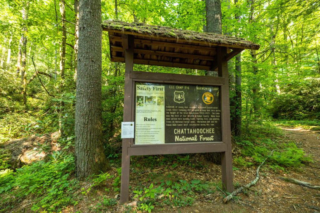
Head about 3 miles northeast out of Clayton, GA on Warwoman Road. There is a sharp turn to the Right that leads down to the parking area. You’ll see an open area close to the entrance with an old pavilion nearby and an interpretive information kiosk. You may also continue down the road a bit further to additional parking.
Just up form the first parking area, you’ll see another sign on the right. Immediately after this sign, Becky Branch (creek) passes under the road and the trail is on the right. Head up the trail to the road and cross it (when clear!). The Bartram Trail continues just on the other side of the road.
Section Highlights
- Speed Gap is located at 11.4 miles. Here you will find a large carved granite marker for the Bartram Trail. Speed Gap is likely named after one of the early Bartram Trail founders and trail builders, whose family can still be found living in the area.
- Campsites with an intermittent spring can be found about 500 feet down into the northwest cove at mile 14.7. There is another water source about 0.2 miles north of here.
- At mile 15.9 you’ll find a side trail leading to Rainy Mountain. The summit affords views and camping areas.
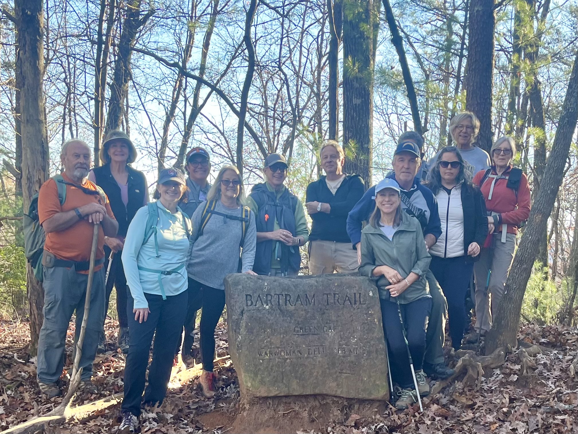
- At Green Gap, mile 17.3, you’ll find a large boulder engraved with Bartram Trail. From here, its roughly 1.3 miles of descent to Warwoman Dell.
Walking With Bartram
Watch Episode 4 from the Walking With Bartram series that covers this section of the Bartram Trail
Related Posts

Read about the latest Walking With Bartram section hike from Warwoman Dell to Sandy Ford from November 28, 2022. Read The Post
