8.5 Miles in North Georgia
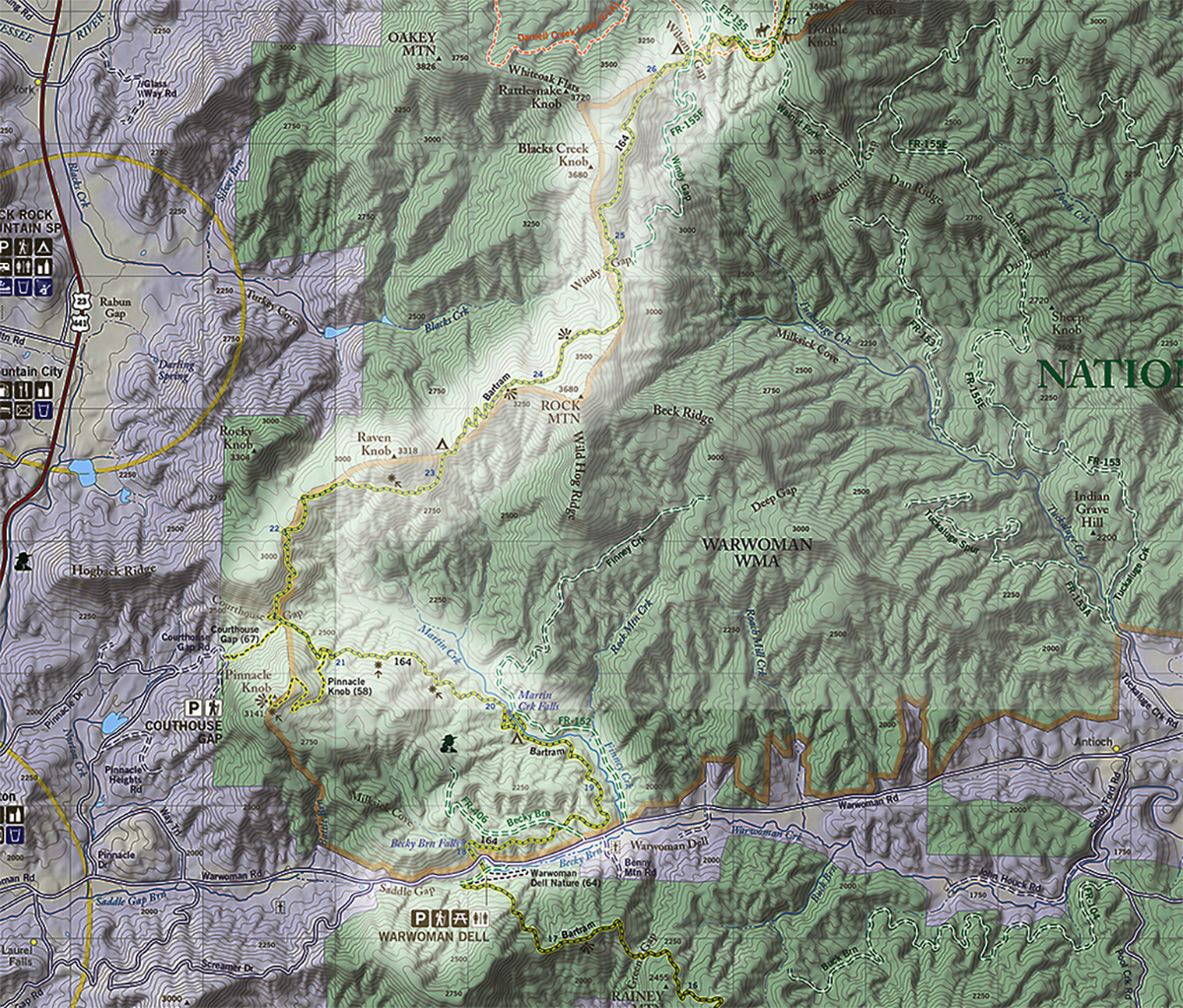
Overview
Bartram Trail Section 3 Warwoman Dell to Wilson Gap starts in North Georgia at the Warwoman Dell Recreation Area, just east of Clayton, GA. This section is approximately 8.5 miles to reach Wilson Gap. Warwoman Dell is a popular park with trail access, beautiful mature rhododendron, and Becky Branch, a small creek that runs along the Bartram Trail here.
After passing through this meadow, the road led me over the bases of a ridge of hills, which as a bold promontory dividing the fields I had just passed for expansive green lawns. On these towering hills appeared the ruins of the ancient town of Stecoe. Here was a vast Indian mount or tumulus and great terrace, on which stood the council house, with banks encompassing their circus; here also were also old Peach and Plumb orchards, some of the trees appeared yet thriving and fruitful . . .
WIlliam Bartram
Historic Background
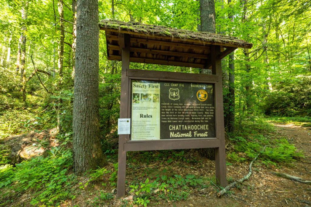
Section three begins at Warwoman Dell Recreation Area, which was constructed by the Civilian Conservation Corps (CCC) in the late 1930’s. Many of the structures and features found at this trailhead were built by the CCC including old stone trout runs, spring houses, and picnic pavilions. Warwoman Dell’s name is said to come from a Cherokee woman named Nanyehi or Nancy Ward. Ward was born around 1738 in the Cherokee capital town of Chota in southeastern Tennessee. Her mother was the sister of Atakullakullah, the Cherokee Chief who William Bartram later encountered on his journey through the Nantahala Mountains. Ward was awarded the title of Ghigau or Beloved Woman by the Cherokee for her role in the 1755 Battle of Taliwa against the Muskogee Indians. Ward picked up the gun dropped by her slain husband in the battle and led the Cherokee to victory, securing the north Georgia region for the Cherokee people. As Beloved Woman, she became the only female voting member of the Cherokee General Council. She later married the Irish trader, Bryant Ward, and took the name Nancy.
Another theory for the place name of Warwoman is that it is named for Nancy Morgan Hart, famous for her exploits against Loyalists in northeast Georgia during the Revolutionary War. Hart had settled with her family in Georgia’s upper Broad River valley during the early 1770’s. Among the many of accounts of her interesting life is one in which she killed two Loyalist soldiers who showed up at her home demanding food and beverage. She offered them food and beverage and asked the group that they place their guns against the wall. She slowly removed them out the window to her husband as they continued to drink before killing two of them with their own weapons. The remainder of the group were hanged outside by her husband.
Evidence of the failed 19th century Blue Ridge Railroad can also be found at the Dell. Construction had begun prior to the Civil War, with numerous investors and schemes which continued after the war. Had the railroad been completed Rabun County would have been a major connection between Charleston, Knoxville, and other southern cities with the result being that the surrounding landscape would likely have been much less rural and remote.
This section also crosses the historically accepted route and ancient trade path upon which Bartram travelled by horseback, though the previously mentioned route proposed by cartographer Lamar Marshall is more likely. Bartram is believed to have crossed the Chattooga at Earl’s Ford, then proceeded up Warwoman Creek from Earl’s on an old trade path to Martin’s Creek Falls, crossing over the Blue Ridge mountains at Courthouse Gap. Hikers can pass by or take the side trail to the Pinnacle, where Bartram has historically been believed to be when describing a new species of magnolia – Mountain Magnolia, or Magnolia fraseri, as it was later to be described by the French botanist Andre Michaux. This species, with its large lobed leaves and smooth grey bark, was however later named Magnolia Fraseri by French Botanist Andre Michaux, who explored the area in the 1780’s and had learned of the species from Bartram. Michaux named the species after a patron, the Scottish botanist John Fraser.
From here it has been generally accepted that Bartram crossed Courthouse Gap on an ancient trail and proceeded down to the destroyed and abandoned Cherokee Village of Stekoe, near modern day Clayton. On this section of his journey, he describes hundreds of acres of strawberries, and expansive green lawns, the remains of Cherokee agriculture. In Stekoe, he describes stone piles in the old village, which he assumed were the interned remains of Cherokee warriors, killed in the earlier Creek wars. He also described the mound of the village that was later razed for the modern-day town of Clayton. Stekoe was known as The Dividings, as numerous ancient trade paths intersected at this location. One was the path northward to Cowee, and another was to the northwest through the Hiwassee River valley and on to the Overhill Towns, Bartram’s ultimate destination, which was near modern day Loudon, Tennessee. However, he was to meet a guide to lead him to the Overhill Towns in the Cherokee village of Cowee, who never showed, leading to his solo journey into the Nantahala mountains along yet another ancient route.
Bartram Trail Section 3 Warwoman Dell to Wilson Gap Access at Warwoman Dell Trailhead
From Highway 441 in Clayton, travel east on Warwoman Road for three miles. A Forest Service sign will be on the right. The parking area on the left upon entry is just a few feet from where the Bartram Trail heads up Becky Branch. Hikers going towards Sandy Ford can drive on to the parking area at the end of the road. There is a composting privy there and a large pavilion with a fireplace, as well as an easy short loop trail to a waterfall and an interpretive kiosk. Here’s a Google Map to the trailhead.
Bartram Trail Section 3 Warwoman Dell to Wilson Gap Highlights
From the Warwoman Dell parking area, you’ll find the trailhead leading up recently installed stone steps to cross over Warwoman Road where the trail continues towards Becky Branch Falls. You will see a state historical marker honoring Bartram where the trail crosses the road. This heavily traveled section is popular for day use due to its proximity to two waterfalls – Becky Branch and Martin’s Creek.
Becky Branch Falls. The bridge is out and the rock hop across the stream can be treacherous in high water but is not dangerous during average flow. This bridge is scheduled to be replaced in 2024. Hikers wanting a brief loop hike from Warwoman Dell can rock hop across the branch and descend on the side trail to the right back to the parking area. Continuing on the Bartram for another half mile, the trail crosses a gated Forest Service road before descending to a small unnamed tributary to Martin’s creek. In this short distance between this road and the creek the attentive hiker can see the rarest of mountain shrubs, Mountain Camellia, which Bartram discovered and described in his Travels. If you are hiking the trail in June look for its spectacular showy white flowers scattered upon the trail.
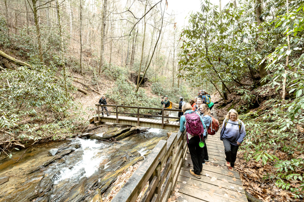
The Bartram Trail moves away from the noise and sight of Warwoman Road and is soon winding its way above Martin’s Creek on and old road bed, where it can be seen cascading down a narrow gorge towards its confluence with Warwoman Creek. The trail soon parallels the creek, requiring a rock hop across a small tributary
Across the creek is an overused dispersed camping and day use area that is accessed by Finney Creek Road. Just past this camping area, there are campsites along the trail, but be aware of dead hemlocks that could fall during high winds. By the time of this publication, they could likely all be down. The trail turns right at the campsites and crosses Martin Creek on a foot bridge. After crossing the bridge, turn left and in .1 miles re-cross the creek on a footbridge to the left, which has excellent view of the falls and an observation deck. Historians such as Frances Harper believe this is the “Falling Creek” that Bartram described in his journey through the area, though as mentioned earlier, there is an argument that he traveled up to the Highlands Plateau and back along Overflow Creek. Regardless, it is a lovely place to enjoy a nice cool spray on a hot summer day and reflect on the area as Bartram would have seen it in May of 1775.
Leaving the viewing platform, travel back downstream making a sharp right turn at the camping area and begin ascending steeply uphill, crossing several small streams and moving away from Martin Creek along the ridgeline of Pinnacle Knob.
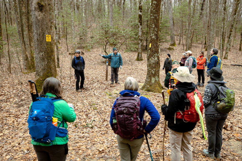
A green blazed side trail to the west leaves the Bartram and gradually ascends a mile until reaching Pinnacle Knob, where Bartram describes Magnolia Auriculata, or Mountain Magnolia. Though he had encountered it earlier on his way into the mountains, he is particularly struck by it here, declaring the peak Mount Magnolia. The elevation here is 2,670 feet. The Bartram trail follows an old road from here, descending to Courthouse Gap at 2,520 feet. Interestingly, there are no Fraser Magnolia to be found along this trail or on the summit, but the summit is a spectacular view to the west and populated primarily in gnarly old Pitch Pines. This once again gives pause to Bartram’s exact location and credence to Marshall’s proposed route of where he traveled.
Courthouse Gap trail heads down and west for .5 miles until reaching Courthouse Gap road. For those wanting a shorter hike to the Pinnacle this is much easier and shorter than hiking from Warwoman Dell. The total round trip from Courthouse Gap trail head on Courthouse Gap road is 3.6 miles with an elevation gain of approximately 1,000 feet.
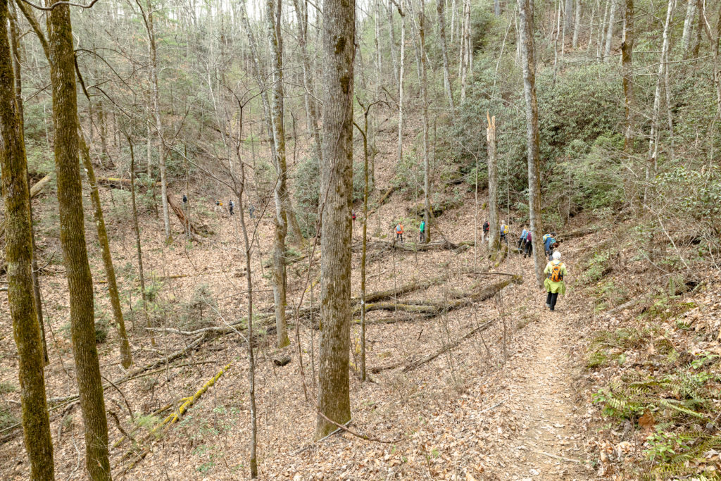
Access to Courthouse Gap Trail: Travel .8 miles north of Clayton on US 441 and turn right on Pinnacle Drive. Follow Pinnacle Drive for 1.2 miles and turn left on unpaved Courthouse Gap road. At .3 miles you will see a small parking area on the left. The trail is 250 up the road on the left and there is no parking at the trailhead.
You will reach the Eastern Continental Divide as you skirt the south side of Raven Knob. Raven Knob is 3,125 feet and the trail passes below it on the south side at 2,920 feet at 23.8. There is some camping at a small intermittent stream just past this point. The trail follows the Divide now, with dry campsites along the way, skirting Rock Mountain and reaching Windy Gap at 26.0. There is a rock marker at Windy Gap engraved Bartram Trail and Windy Gap and a dry campsite.
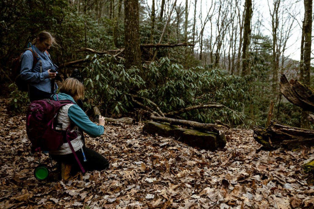
The trail skirts Blacks Creek Knob (3,590 feet) and gradually descends to Wilson Gap (3,220 feet)
Wilson Gap is a large campsite with water 350 feet down the northwestern cove. Gated Forest Service Road 155 is to the east of the site and the Bartram Trail proceeds out of the gap to the northeast. Forest Service Road 153 enters the gap from the north, which makes the site slightly less desirable due to potential intrusions from vehicles.
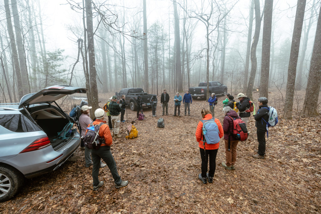
Wilson Gap Access: Travel east from Clayton on Warwoman Road for 6.1 miles and turn left on Tuckaluge Road. Tuckaluge Road turns into gravel Forest Service Road 153. Follow 153 until it bears left and ends, staying straight onto FS Road 155A. At Walnut Creek Road (FS 155) (5.2 miles after turning onto Tuckaluge Road), bear left and uphill, staying on 155A. The Bartram Trail crosses 155A at 1.3 miles from the hard left, and Wilson Gap is another .6 miles past this crossing. 153 and 155A are both steep and rutted in places and the road is not recommended for low clearance vehicles. High clearance four-wheel drive vehicles are required to drive from the point where the Bartram crosses 155A to Wilson Gap. Link to Google Maps.
Bartram Trail Section 3 Warwoman Dell to Wilson Gap can be done in reverse, leaving a car at Warwoman Dell and shuttling to start at Wilson Gap. The elevation loss is more than gain and easily completed as a day hike.
Walking With Bartram
Watch Episode 4 from the Walking With Bartram series that covers this section of the Bartram Trail
Previous Section | Next Section
