
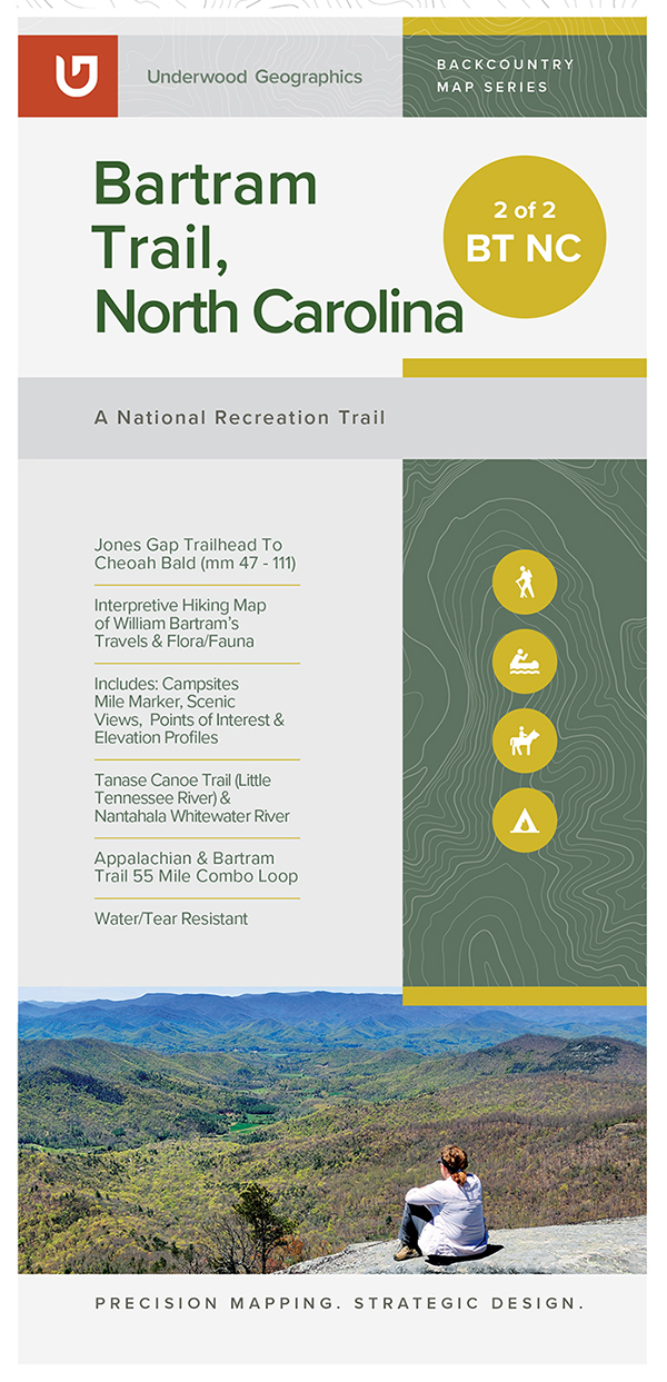
Description
Printed in full color on waterproof/tear-proof paper, the map includes:
- An overview of the 80+ miles of the yellow-blazed Bartram Trail in North Carolina
- Blue-blazed side and connector trails
- Topographic features
- Elevation profile for North Carolina stretch of the trail
- Area places of interest: scenic vistas, waterfalls, historic markers, picnic areas and campgrounds
- Many natural history facts about the biodiversity of native flora and fauna along the BT, about William Bartram and about the Blue Ridge Bartram Trail Conservancy.
This new 2022 edition of the Hiking Map of North Carolina’s Bartram Trail includes updated routes of the trail. Updates also include alternate options for the “road-walk” through the Town of Franklin, NC. New coverage includes trails around the Appletree Group Campground, near Lake Nantahala.
In addition to the updated data and trail information included in this map, a new companion map has been created for the 30+ miles of the Bartram Trail in North Georgia. This new map includes additional regional trails and points of interest. Coverage in the Georgia companion map includes the Chattooga River Trail and Chattooga River, Ellicott Rock Wilderness Area, and the Chattahoochee, Nantahala, and Sumter National Forests.